Val Troncea natural park
Ultimo aggiornamento: April 18, 2024
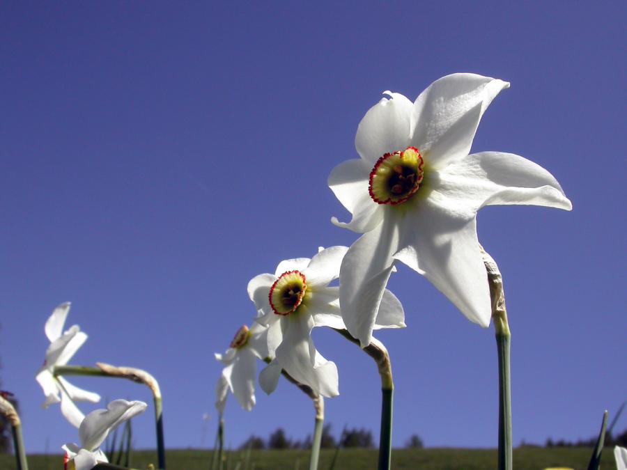
The “valley of flowers”, the enchantment of colours
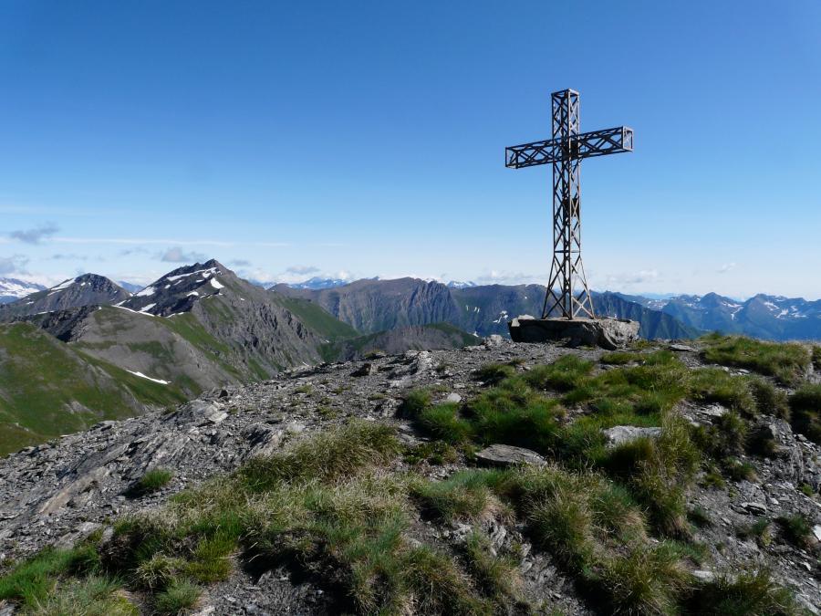
The landscape of Val Troncea is able to reveal to the visitor a variety of environments and forms that are difficult to find in other sectors of the Cottian Alps.
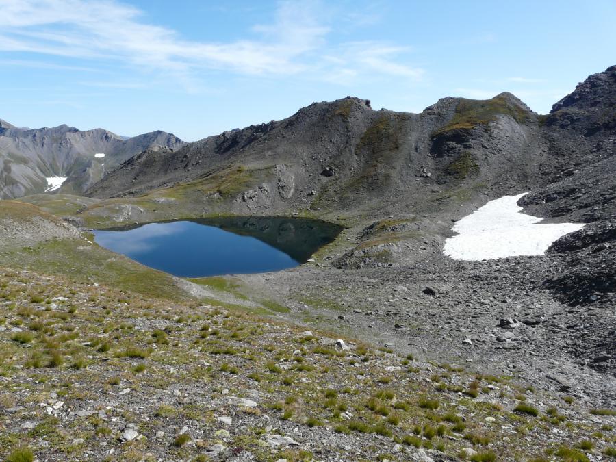
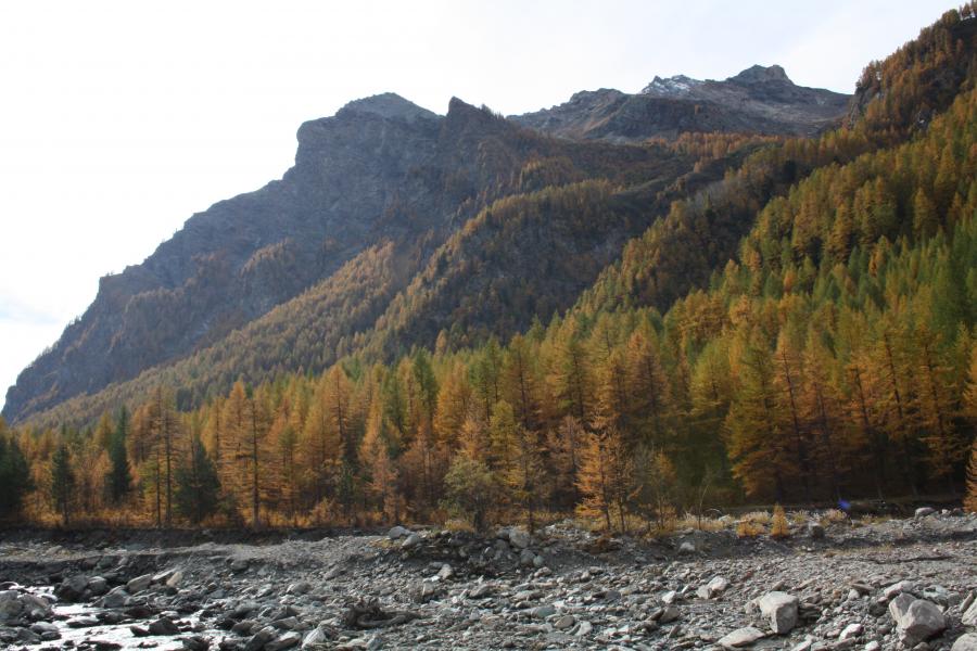
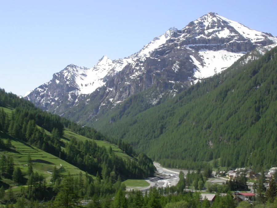
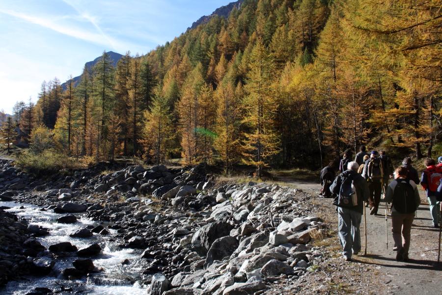
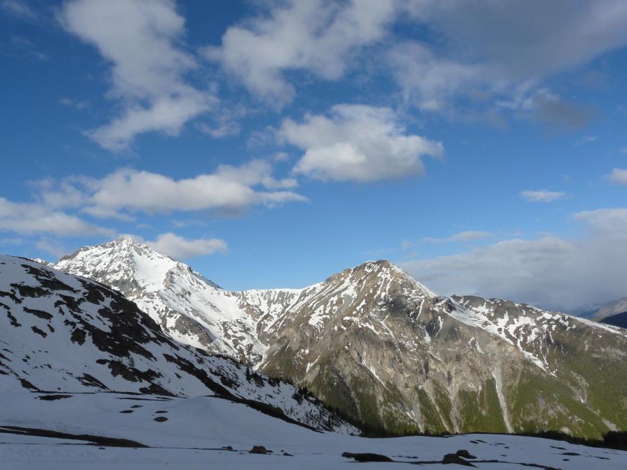
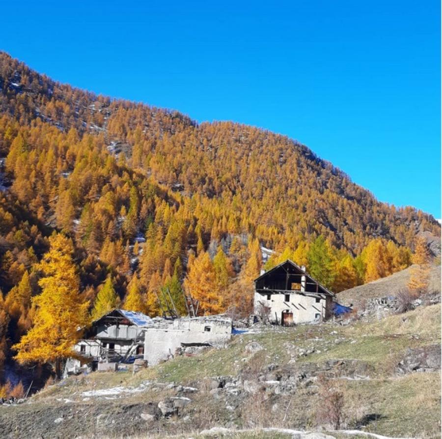
The valley, a lateral furrow of Val Chisone surrounded almost entirely by peaks that exceed 3000 meters above sea level, reveals alpine environments on the right orographic side between dense larch and stone pine forests alternating with extensive high-altitude pastures. On the other hand, it shows a severe profile on the opposite side, dominated by rugged and imposing rock walls that fall for hundreds of meters onto the bed of the Chisone stream.
This morphological contrast reflects the geological conformation of a territory in which the stream has carved its path. Where the excavation work of the Chisone has not remodeled the morphology of glacial origin, the U-shaped profile of the valley is clearly recognisable, determined by the erosive action of the glaciers of the Riss and Würm eras. Without forgetting the human intervention of the following centuries which shaped the territory giving it the appearance of thickets - still observable today - when the timber from the area was massively used in the construction of the Forte di Fenestrelle and the Beth mine, obtaining ideal prairies for grazing summer of livestock.
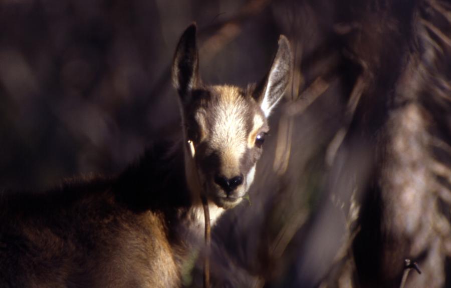
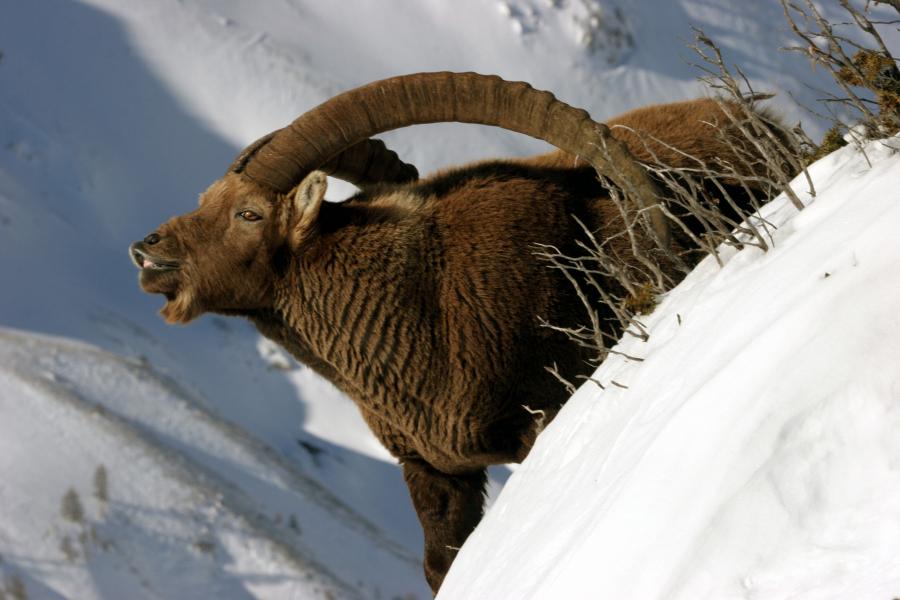
As you rise in altitude, the environment is rich in blooms, hence the name Valle dei Fiori, where the chamois and ibex, reintroduced in the 1980s, find their ideal habitat.
Identity card
Land surface area (ha): 3,280.00
Regione: Piemonte
Province: Torino
Municipalities of the Park: Pragelato
Institution: Regional Law n. 45 of 05/16/1980
Official List of Protected Areas: EUAP0217
Managing Body: Ente di gestione delle aree protette delle Alpi Cozie
Tax code: 94506780017
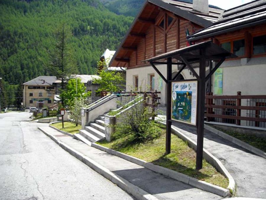
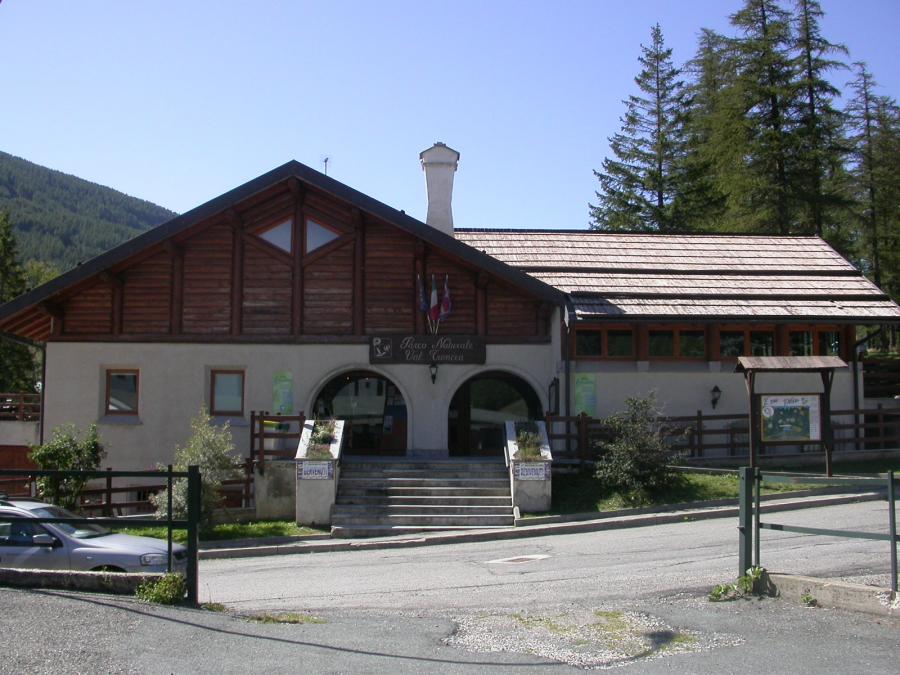
The Park headquarters is in Pragelato (TO) in Via della Pineta, La Ruà district - Tel. 0122/78849, info.alpicozie@ruparpiemonte.it
Established in 1980 by the Piedmont Region, it protects 3280 hectares, occupying the head of the catchment basin of the Chisone creek, whose sources originate from the Barifreddo and Appenna Mountains. Much of its perimeter is delimited by peaks that exceed three thousand meters up to 3280 of Rognosa del Sestriere, the highest mountain in Val Chisone. Since 2012 it has been part of the system of protected areas of the Cottian Alps together with the Natural Parks of the Laghi di Avigliana, Orsiera Rocciavré, Gran Bosco di Salbertrand and the Chianocco and Foresto Nature Reserves.
The protected area lies entirely within the municipality of Pragelato, of which it incorporates 89% of the territory. It represents a treasure chest of biodiversity on the border of the international ski area of the Milky Way. It collaborates closely with the Municipality of Pragelato to encourage respect for natural balances and promote sustainable fruition activities.
The Park territory is now recognized within the Natura 2000 Network based on the European Habitats and Birds Directives. The Park headquarters is a few kilometers from the protected area and is located in the town of Pragelato, in the hamlet of La Ruà. It houses the park's visitor center and museum dedicated to the main naturalistic and historical aspects of the area.
Download the Park brochure (4.8 Mb)
The fauna

The fauna is made up of a large number of species which over the centuries have undergone radical variations due to the presence and action of man: in 1826 the last lynx was killed in Pragelato and around 1840 the last wolves were killed (returned spontaneously in the late 1990s).
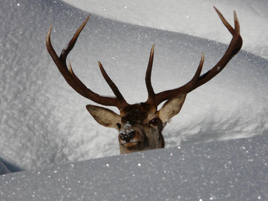
Typically represented by the chamois, the ibex (reintroduced in the 1980s), the roe deer, the deer, the wild boar, the marmot, the stone marten, the marten, the badger, the snow vole, the oak mouse, the weasel, the common and variable hares, foxes and ermines. Between January and April, the eagle owl and the grouse owl sound their territorial calls. Even the lammergeier, a majestic vulture, frequents the skies of Val Troncea while a nesting pair of golden eagles has chosen the valley as a hunting territory.
Over sixty species of birds can be discovered in the various environments, including the black grouse, the rock partridge, the ptarmigan, the great spotted woodpecker, the green woodpecker, the black woodpecker, the nutcracker, the white wagtail and the crossbill. Alpine and coral choughs nest on the rocky walls, while along the stream it is easy to see the dipper.
This important faunal heritage is protected and studied thanks to numerous scientific research carried out by the Ente's staff in collaboration with various universities and finds economic support in Europe thanks to cross-border projects.
The flora

The flora is typically Alpine. The altitude of the protected area, between 1670 and 3280 metres, favors vegetation made up of larch woods sometimes in association with stone pine. Of notable forestry interest is the almost pure hooked pine forest above the town of Seytes. The undergrowth is characterized by formations of juniper, rhododendron, blueberry and green alder. In the valley floors there are rare birch trees and aspen trees.
Along the Chisone stream, which runs along the entire valley floor of the Park, willow bushes grow, while on the riverbeds the Fleisher's fireweed colonizes the pebbly soil. Above the woods the fabulous world of alpine flowers opens up.
The culture

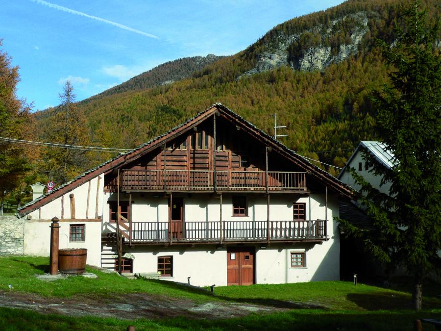
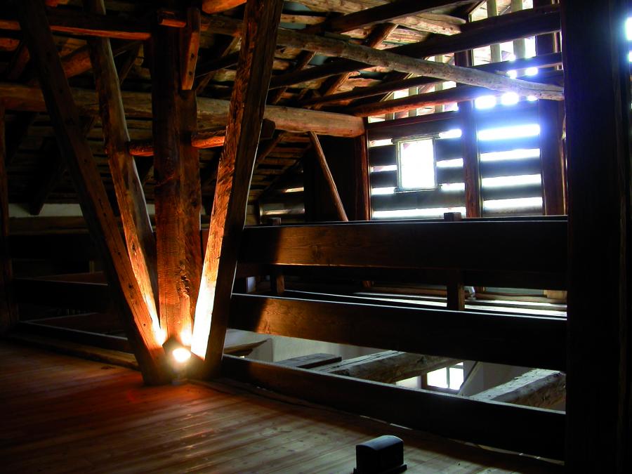
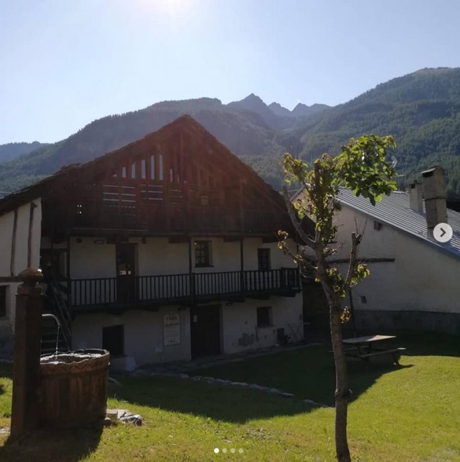
The history of Pragelato sees its first founding moment in 1343 when the Dauphin Umberto II signed the Grande Charte des Libertés sanctioning the birth of an administrative experience which, until the eighteenth century, characterized the history of Pragelato and of a wider cross-border area between France and Italy: the Escartons. A reproduction of the original declaration, written in Latin, and the Italian and French translations of the document, are found in the Stanza dell'Armadio of the Casa degli Escartons in Pragelato (a house museum managed by the Park). Inside it is possible to take a space-time journey in one of the territories that belonged to the Dauphiné and France until 1713, an opportunity to approach the history of Italy through the events that followed one another in the territories near our home.
The upper valley has often experienced moments of great suffering, especially due to political and religious struggles. The revocation in 1685 of the Edict of Nantes also affected the Val Pragelato: the worsening of the persecutions against the Protestants forced them to leave their native places to seek refuge in Switzerland and Germany, until 1689, the year of the Glorious Repatriation. The territory, conquered militarily in 1708, became part of the Savoy kingdom with the Treaty of Utrecht in 1713. The French Revolution definitively closed the singular administrative experience of the Escartons.
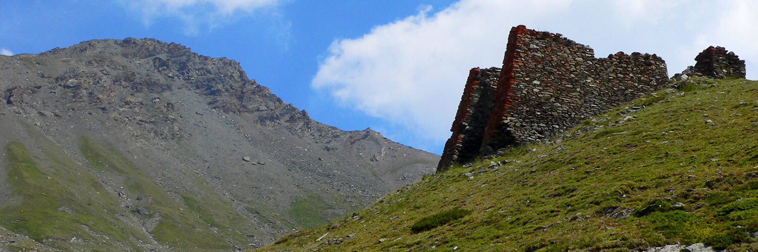
At the end of the nineteenth century, economic activities in Val Troncea underwent a notable boost thanks to the presence of mountain pastures and the exploitation of a chalcopyrite deposit near the Beth hill. In 1904 an avalanche overwhelmed 81 miners and, a few years later, the mines closed permanently.
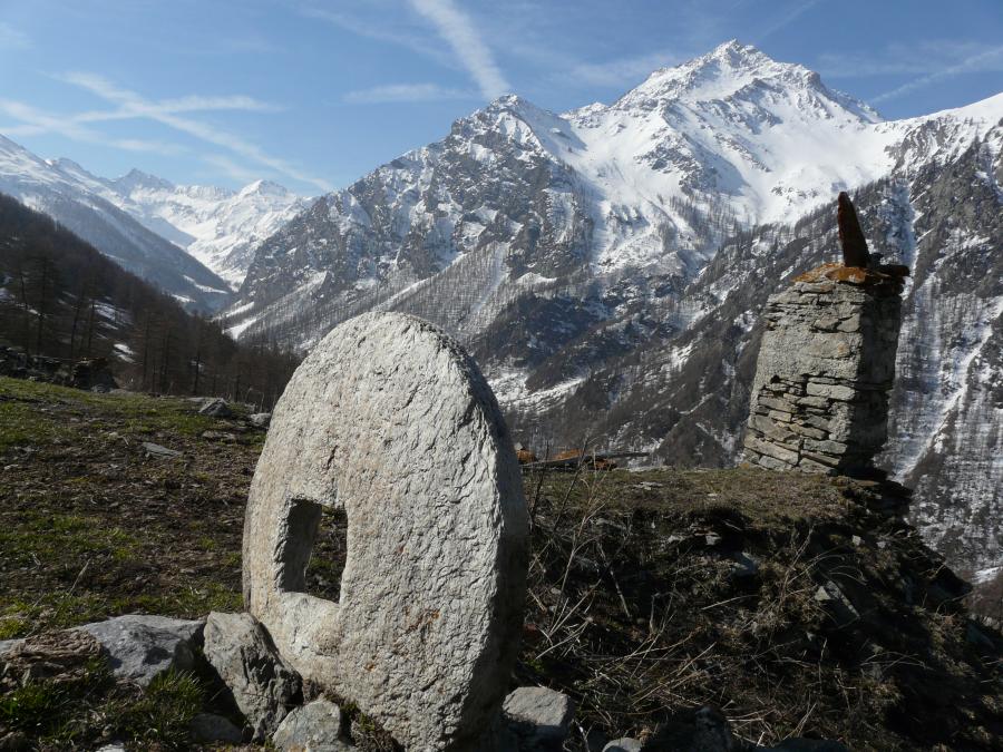
During World War II many Alpine villages were burned down due to Nazi-fascist raids. Currently the ancient settlements are used as summer pastures.
You might also be interested in...
- book Avigliana Lakes Natural Park
- book Orsiera Rocciavrè natural park
- book Gran Bosco di Salbertrand natural park
- book Chianocco Ravine Reserve
- book Orrido di Foresto special nature reserve
- book Colle del Beth
- book Sentiero del Plaisentif
- book Passo Banchetta
- book Monte Morefreddo
- book Sorgenti del Chisone


