Open main menu
ITA
/
ENG
/
FRA
Home
Park authority
Who we are
What do we do
Locations and contact details
Municipalities
Sections of the institution
Organization
Transparent Administration
Praetorian register
Forms
Tariffe
PagoPA
Patronage and use of the logo
Legal notes and privacy
Protected areas
Parks
Natural reserves
Natura 2000 network
Centri di referenza
Culture
Ecomuseo Colombano Romean
Certosa di Montebenedetto
Casa degli Escartons
Minority languages
Documentation centers
Landscape
Parchi da gustare
Toponymy
Home
/
Itineraries
/
TAM
/
Stage 2
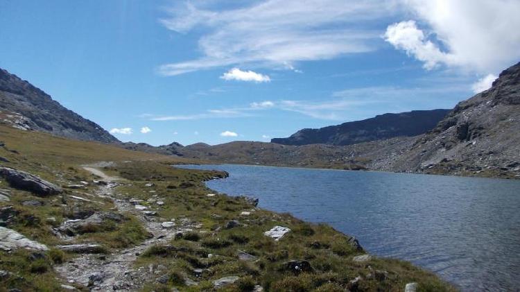
Rifugio Ambin (Francia) - Rifugio Vaccarone
Length
19 km
Starting altitude
2574 m
Ending altitude
2742 m
Departure location
Rifugio Ambin (Francia)
Arrival location
Rifugio Vaccarone
Travel time
7 h 00 min